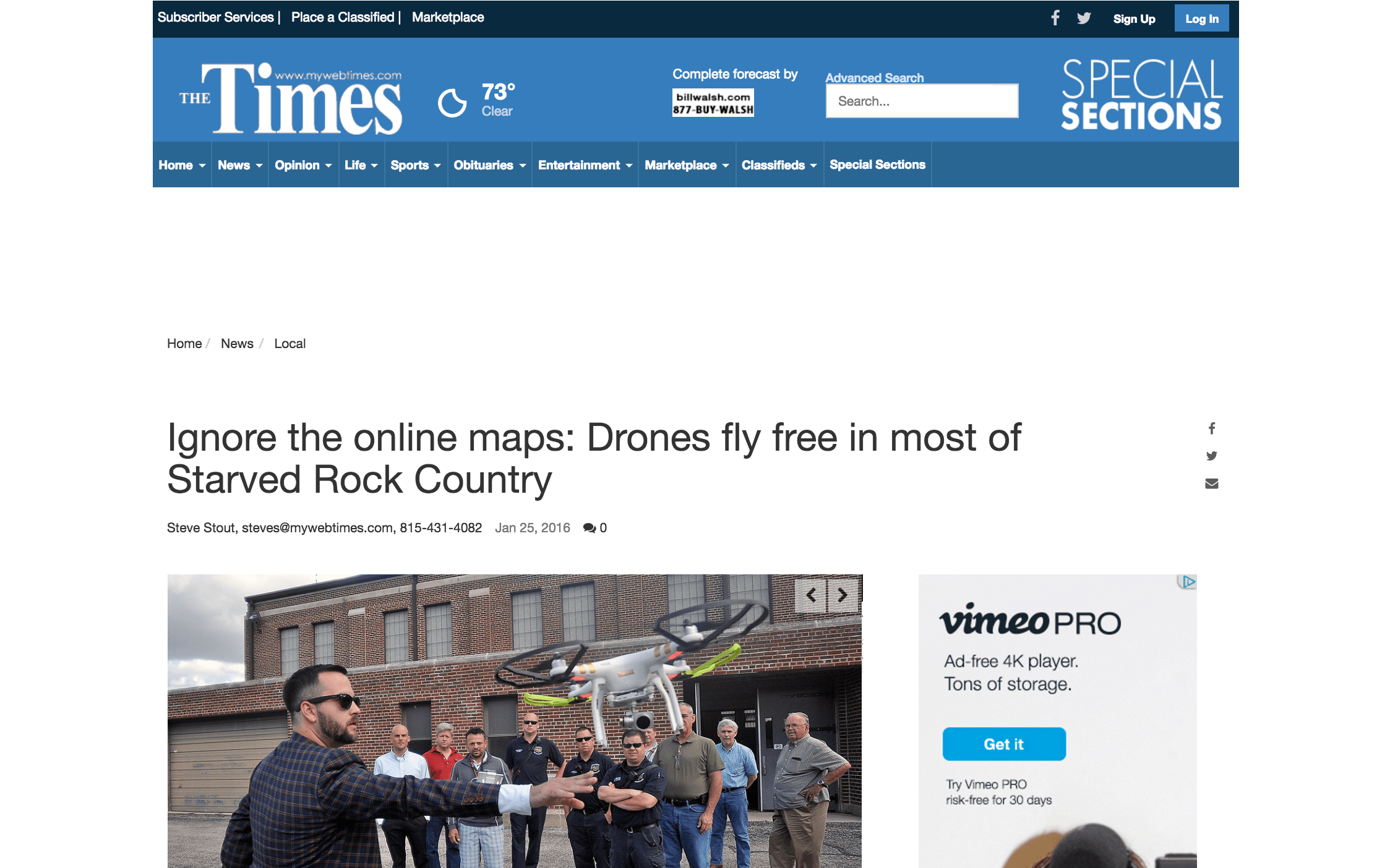
Helios Visions’ Chief Remote Pilot Tyler Gibson spoke with Times reporter Steve Stout about the inaccuracy of online drone no-fly zones maps.
We are currently beta testing the FAA developed “B4UFLY” app that provides FAA approved airspace maps. This helps our UAV operators during preflight planning and is used to reference accurate airspace and no-fly zone information. Gibson said he and his partner, Ted Parisot, are beta testing a new FAA app for flying drones, which alerts the operator if he or she is flying in restricted locations. Gibson explained the program provides information necessary to fly quickly and safely in nearly any U.S. location. He said it also points the pilot to the proper government agency to contact about any restrictions in the flying area. Gibson said because the drone technology is changing constantly, it is hard for the government and operators to keep up with all the safety issues.