Chicago’s AI Moment Is Here—And Helios Visions Is Powering It from Above
Chicago has just been named one of the most AI-ready cities in the U.S. With a deep bench of technical talent, world-class research institutions, and billions flowing into AI-driven innovation, our city is quickly becoming a national leader in turning artificial intelligence into real-world transformation.
But there’s a truth every AI innovator knows:
AI is only as powerful as the data it’s trained on.
And that’s where Helios Visions comes in.
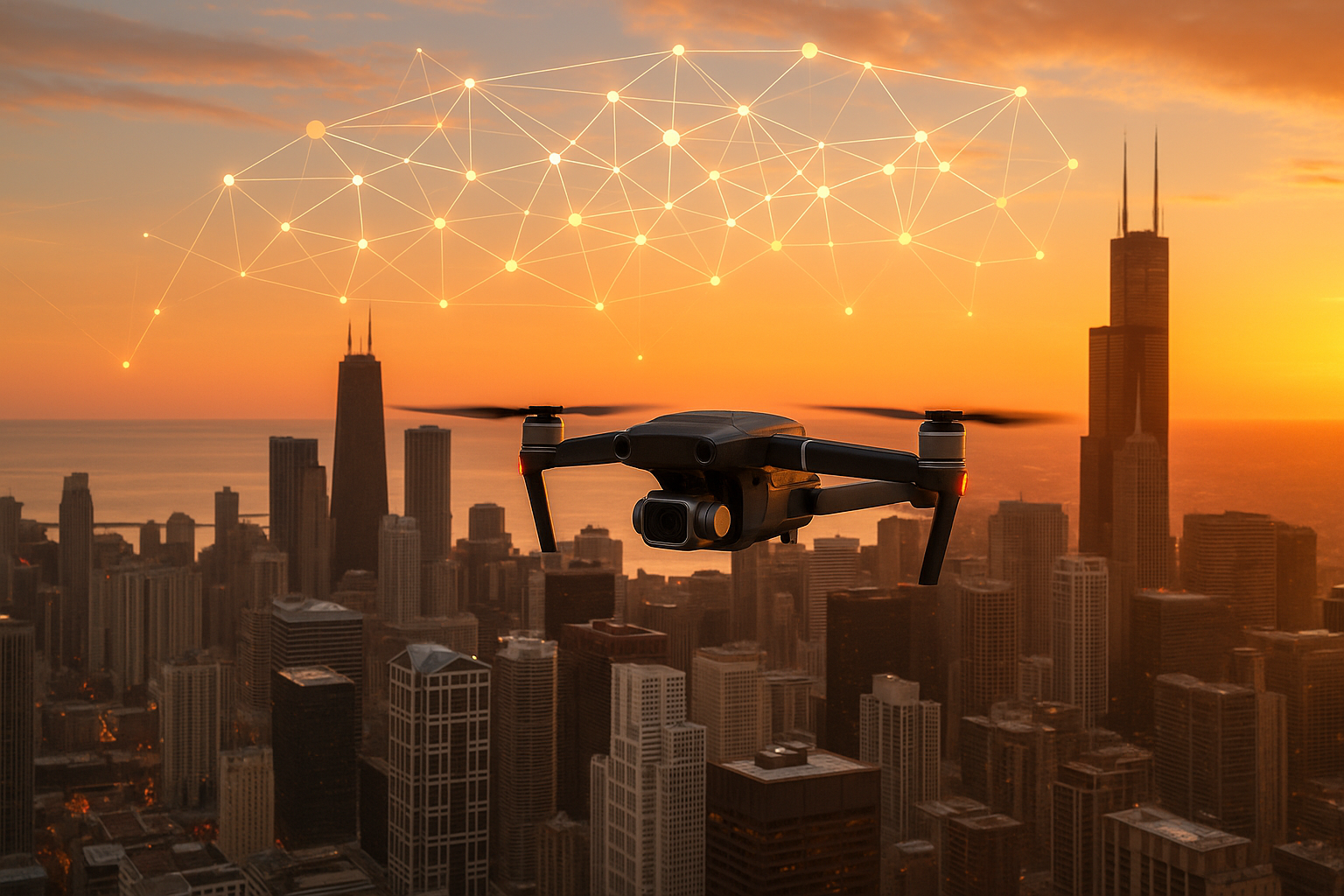
🛰️ From Data-Starved to Data-Ready: The Drone Advantage
As a drone-powered data infrastructure company, Helios Visions helps organizations across construction, commercial real estate, energy, and infrastructure collect rich, accurate, and repeatable aerial data. The kind of data that can feed AI models, train computer vision systems, and power smarter decision-making across industries.
Whether it’s 3D mapping a job site, scanning a building façade for structural integrity, or capturing thermal data from rooftops, our drone services turn the physical world into structured, AI-ready datasets.
In short:
We don’t just fly drones—we build the data pipelines for the AI age.
🚀 Why This Matters Now: AI Momentum in Chicago
According to multiple 2025 reports, including studies from World Business Chicago, DesignRush, and ProptechOS:
-
Chicago’s AI economy is worth over $57 billion and employs 160,000+ people
-
Local companies rank AI as a top strategic priority for the years ahead
-
Chicago is among the top U.S. metros for AI infrastructure, talent, and innovation
-
Institutions like UChicago, Northwestern, Argonne, and Fermilab are leading major AI research
And yet, these AI systems need accurate, contextual, and frequently updated real-world data.
That’s the gap we help bridge.
🔍 AI Use Cases That Rely on Drone-Captured Data
Across the industries investing heavily in AI, aerial data collection has become mission-critical:
| Sector | How Helios Visions Powers AI |
|---|---|
| Construction & AEC | AI-driven defect detection, site progress modeling, and change detection |
| Commercial Real Estate | Property intelligence, roof/facade condition modeling, time-series datasets |
| Energy & Utilities | Thermal analytics, anomaly detection in solar, substation, or roof systems |
| Manufacturing & Logistics | Predictive maintenance and infrastructure mapping |
| Smart Cities & Climate Resilience | Heat island analysis, vegetation management, and sustainable development tracking |
Whether it’s helping a contech startup train its object-detection model or giving a property manager time-series data for roof degradation analytics, Helios Visions turns data deserts into data-rich environments.
🤝 Collaborating with Chicago’s AI Ecosystem
We see the opportunity—and the responsibility—to contribute to Chicago’s AI future in a meaningful way. That includes:
-
Partnering with AI startups that need geospatial training data
-
Collaborating with universities and national labs on computer vision R&D
-
Helping local governments and civic organizations implement AI-ready infrastructure inspection and environmental analytics
-
Offering AI teams structured datasets of drone imagery, orthomosaics, thermal scans, 3D point clouds, and more
🔗 The Future of AI Is Grounded in the Real World
As the AI boom accelerates, success will belong to the companies that can ground algorithms in real-world conditions. With drones, we help capture the real world at scale, over time, and in incredible detail.
Helios Visions is proud to be part of Chicago’s AI journey.
And we’re just getting started.
Want to learn how our aerial data can support your AI initiatives?
📩 Reach out to our team or explore our drone services here